Calnor River Path Project Creates Fresh Links Between Conservation Zones and City Growth Plans
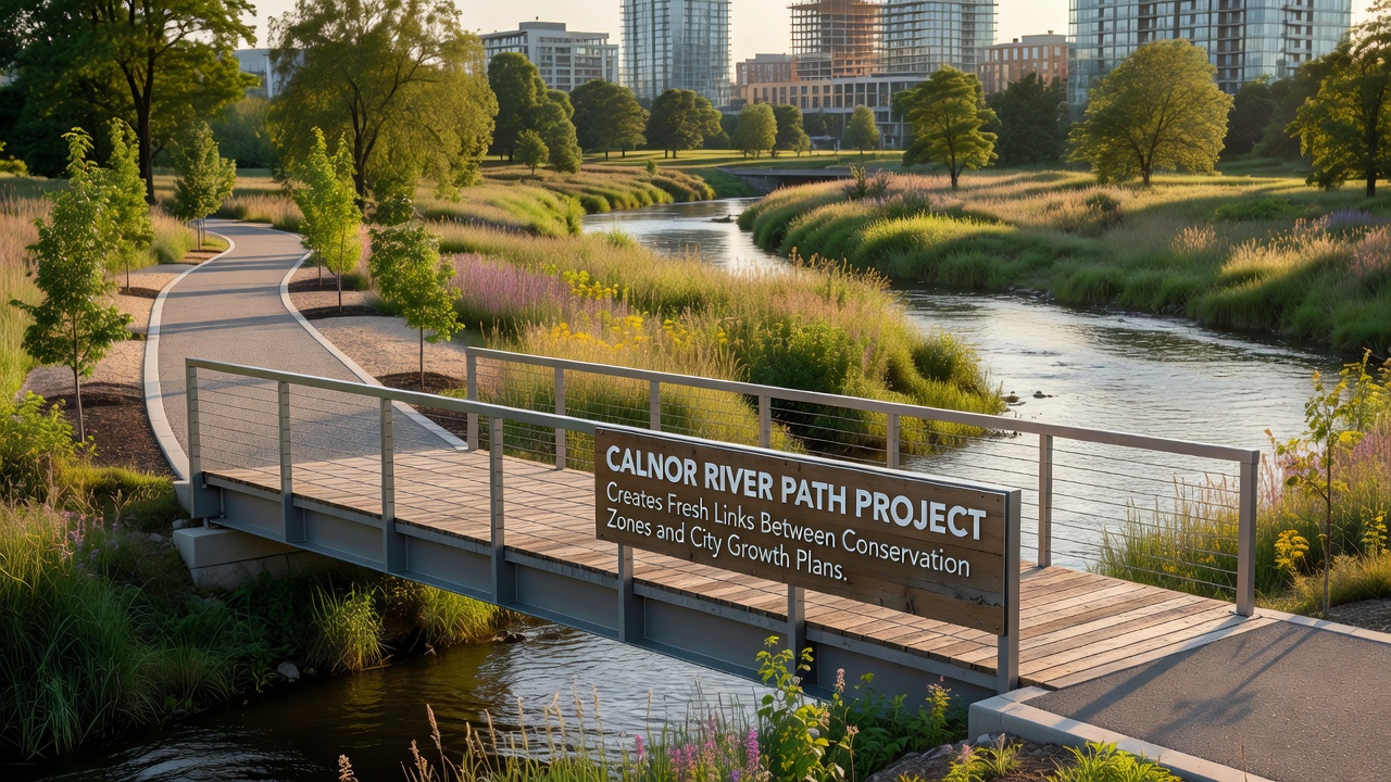
The Calnor River Path Project stretches along 28 kilometers of riverbank, connecting protected wetlands with expanding residential districts on the city's eastern fringe. Planners designed the route to maintain ecological corridors while accommodating new housing developments that officials approved in 2024. Construction crews began laying permeable pathways and installing native plant buffers in early 2025, with completion scheduled for late 2027. Local authorities coordinated with environmental agencies to map wildlife migration routes before breaking ground. Data from satellite surveys showed that otter populations along the lower river increased by 12 percent between 2022 and 2025, prompting adjustments to path width in sensitive areas. The project also incorporates elevated boardwalks over marshland sections to prevent soil compaction.
Planning and Stakeholder Coordination
City planners integrated the path into broader zoning updates that designate mixed-use zones within 500 meters of the river. These zones permit light commercial activity alongside residential units, provided structures maintain a minimum 30-meter setback from the waterline. Meetings held throughout 2025 brought together representatives from conservation groups, real estate developers, and transport departments to resolve access conflicts. One study revealed that coordinated planning reduced projected habitat fragmentation by 18 percent compared with earlier separate proposals. Officials used geographic information systems to model pedestrian flows and predict how new residents might interact with the conservation buffer.
October 2026 Milestones
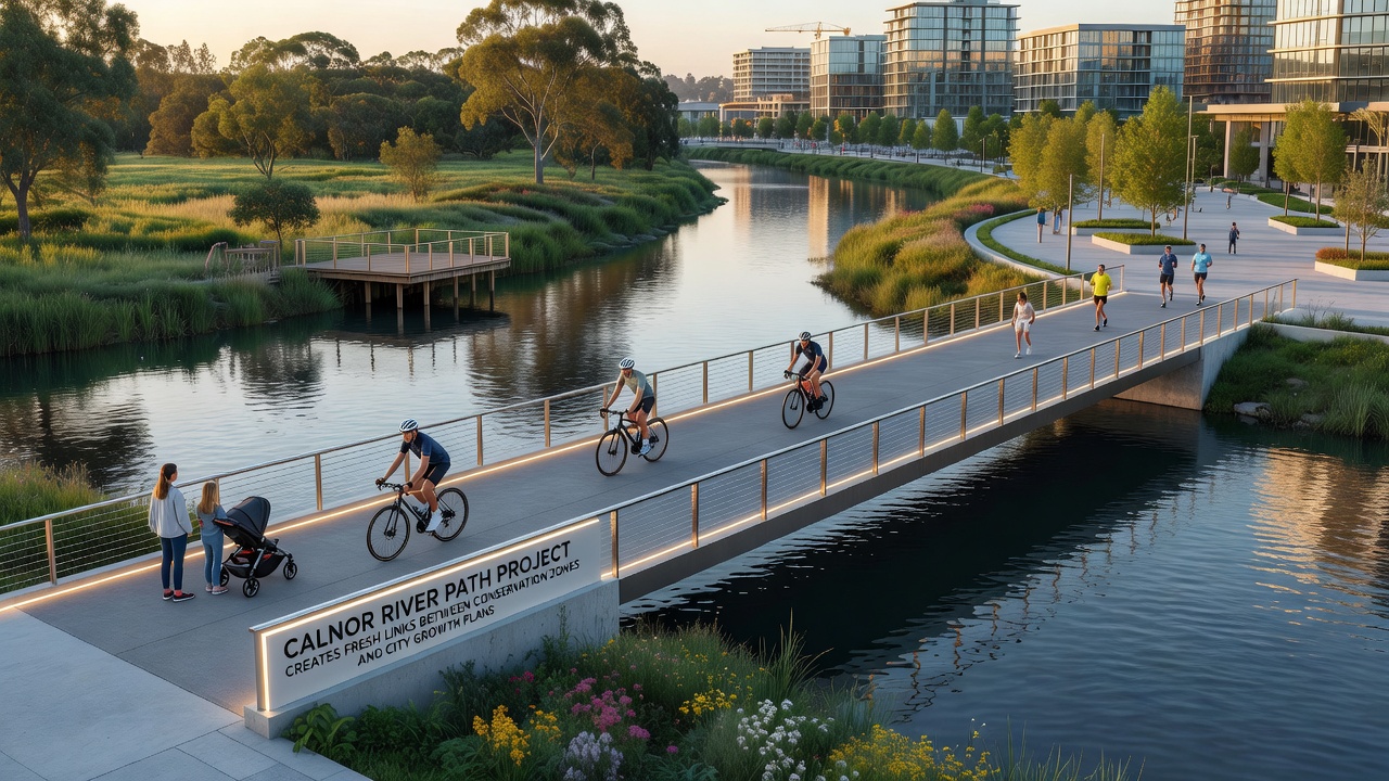
In October 2026 crews will complete the central segment linking the river path to a new light-rail station. This connection allows residents in the growing districts to reach downtown without additional road construction. Monitoring equipment installed along the route will track foot traffic and species movement simultaneously, feeding data into a public dashboard managed by the regional planning office. Figures from the European Environment Agency indicate that similar linear green corridors in other member states have supported a 9 percent rise in local biodiversity indices within five years of opening. Calnor officials plan to apply comparable metrics once the path opens fully.
Integration with Urban Expansion
The path aligns with city growth targets that call for 4,200 new housing units by 2030. Developers received density bonuses for projects that incorporate direct access points to the river trail, reducing reliance on private vehicles for short trips. Stormwater management features built into the path, including bioswales and retention basins, address runoff concerns raised during public consultations. Researchers at the University of Helsinki documented how comparable river-edge paths in Nordic cities maintained groundwater recharge rates even as adjacent populations grew. Calnor planners referenced those findings when specifying permeable surface materials for the entire route.
Environmental Monitoring and Adjustments
Ongoing surveys track water quality at six fixed points along the river. Baseline readings collected before construction showed nitrate levels averaging 4.2 milligrams per liter. Project engineers expect the new vegetation strips to lower those concentrations over time through natural filtration. Quarterly reports will compare post-construction data against the 2024 benchmarks. Wildlife cameras positioned at regular intervals have already captured increased sightings of herons and kingfishers near sections where fencing limits human entry. Observers note that these patterns emerged within months of temporary barriers going up during early works.
Conclusion
The Calnor River Path Project demonstrates how infrastructure can serve both conservation objectives and urban expansion needs through deliberate alignment of routes, setbacks, and monitoring protocols. As segments open progressively through 2027, data collection will continue to inform refinements. Regional authorities intend to publish annual progress summaries that detail habitat indicators alongside housing delivery figures, providing a record of outcomes from the integrated approach.